This storm has passed. Hurricane Isaias made landfall in October 2026. This guide was written before landfall and is kept for reference. For what to do now, read After Isaias: What Florida Homeowners Should Do Now.
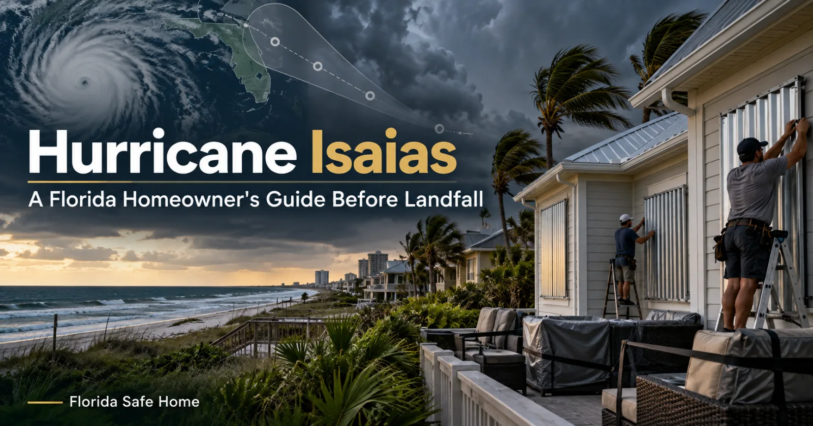
Hurricane Isaias reached hurricane strength late Wednesday night in the Gulf, with 75 mph winds — and it's expected to keep strengthening, reaching a strong Category 2 before making landfall late Friday into early Saturday near the Florida-Alabama line. Forecasters warn its improving structure over near-record-warm Gulf water raises the risk of rapid intensification.
Here's what that means for your home — and what to do with the time you have left.
What we're expecting
- Landfall: Late Friday into early Saturday, near the Florida-Alabama line (Mobile–Pensacola region).
- Warnings: Hurricane warning from Ocean Springs, Mississippi to the Bay/Gulf County line, Florida. Tropical storm warning from the Bay/Gulf County line to the Aucilla River. Storm-surge warning from the mouth of the Mississippi to the Steinhatchee River.
- Surge: 5 to 7 feet from Ocean Springs to Indian Pass; 4 to 6 feet from Indian Pass to Steinhatchee; 2 to 4 feet from Steinhatchee to Yankeetown.
- Rain: 3 to 7 inches, with localized totals up to 10 inches. Flash flooding is a real risk — and the Panhandle's ground is already soaked from last weekend.
- Also: A tornado risk, and dangerous wind near the landfall point.
- Official response: 25 Florida counties are under a state of emergency, the state's emergency operations center is at its highest activation level, and officials are preparing for the possibility of a Category 3 impact.
South Florida is not in the cone — but if you have family, property, or a second home in the Panhandle or Big Bend, they should be finishing preparations today.
Your final prep checklist
Protect the house.
- Put up shutters or panels today — not Friday afternoon.
- Clear gutters, drains, and downspouts so water moves away from the house.
- Bring in or tie down anything the wind can pick up: patio furniture, grills, planters, trash cans.
- If you have a generator, test it now and make sure fuel is stored safely.
Protect the paperwork.
- Photograph or film every room, inside and out — roof, ceilings, under sinks, water heater, electrical panel. Say the date out loud as you film. It's the single most useful five minutes you can spend before a storm.
- Store copies of your insurance policy, ID, and home inventory somewhere reachable without power — cloud storage, or emailed to yourself.
Protect the people.
- Stock the hurricane kit: water (a gallon per person per day), non-perishable food, medications, flashlights, batteries, phone chargers.
- Know your evacuation zone and your route. If officials say go, go.
- Charge everything today. Panhandle impacts begin midday Friday.
After it passes
Don't rush the cleanup. First: photograph all damage before anything is moved or repaired. Keep damaged materials — they may need inspection. Save every receipt for tarps, emergency repairs, and cleanup.
High winds can lift shingles and loosen flashing with no visible signs. Once things are safe, get an inspection from a reviewed local contractor before small damage becomes a big repair.
Florida Safe Home is a private company connecting homeowners with reviewed Florida contractors. Not insurance or legal advice. Forecasts change — follow the National Hurricane Center and your local officials for the latest.